


Montana State Earth Sciences Prof. Eric Sproles joins FOX Weather to talk about the arrival of La Nina and its expected impacts on winter.
The La Niña climate pattern has taken hold of the U.S. ahead of the start of meteorological winter, which forecasters say typically spreads more snow across the Northern Tier of the U.S. and nasty conditions for the Northeast and New England.
La Niña is one of three climatological phases of the El Niño-Southern Oscillation (ENSO) that describe natural changes in Pacific Ocean temperatures and atmospheric circulation that can greatly influence global weather.
La Niña describes colder conditions, El Niño describes warmer conditions and ENSO neutral refers to a state where temperatures are close to average.
WHAT ARE EL NINO AND LA NINA CLIMATE PATTERNS?
-
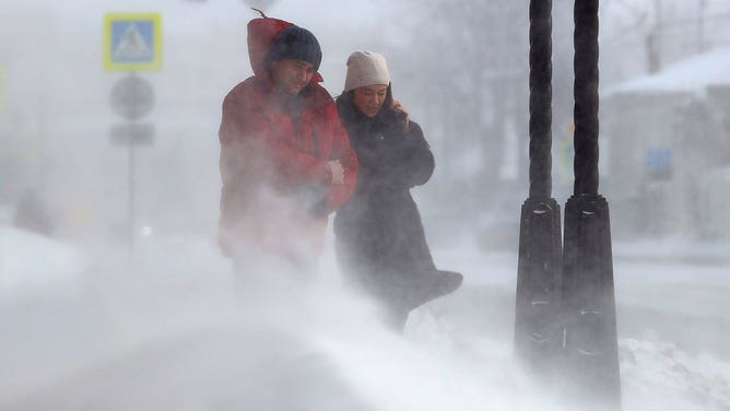
People walk in a street during a snowstorm.
(Nail Fattakhov\TASS via Getty Images) -

Snow-laden trees near 10th and Baltimore in Kansas City are seen, Tuesday, February 26, 2013, while the second major snowstorm hit the Kansas City metro in less than a week.
(Keith Myers/Kansas City Star/Tribune News Service via Getty Images) -

Snow falls in Wellington, Vermont on Dec. 16, 2022.
( ) -

Photo taken snow covered City Park and front range at the park in Denver, Colorado on Tuesday, April 20, 2021.
(Hyoung Chang/MediaNews Group/The Denver Post) -

Vehicles make their way down the Maine Turnpike in Saco as the snow falls Thursday, December 29, 2016.
(Shawn Patrick Ouellette/Portland Portland Press Herald) -

-

FILE – A snow plow clears a pathway from snow on February 9, 2025 in Boston, Massachusetts. (Photo by Scott Eisen/Getty Images)
( ) -

This image shows a snow squall in Amarillo, Texas, on Monday, Jan. 20, 2025.
(Dian Penn Via Storyful)

NOAA released its winter outlook for the upcoming season, which indicates that the Pacific Northwest and the Upper Midwest will likely see below average temperatures, in addition to above-average precipitation.
While these outlooks do not predict snowfall, these conditions are the ingredients for a snow-lover’s dream.
NOAA: LA NIÑA-FUELED WINTER OUTLOOK HIGHLIGHTS POLAR VORTEX INTRUSIONS, EXTRA NORTHERN CHILLS FOR THE US
This also correlates with historical trends. The FOX Forecast Center noted that the Northern Tier and Northwest typically see more snow during La Niña winters, while the southern part of the country typically stays warm and dry.

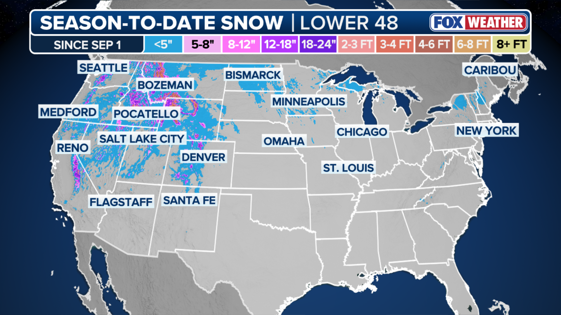
This graphic shows the impact a La Niña winter has on snow in America.
(FOX Weather)
The La Niña pattern also tends to bring more frequent Nor’easters along the Eastern Seaboard, which has already seen several coastal storms this fall.
ESCAPE WINTER: CHECK OUT THE TOP 5 WARM-WEATHER DESTINATIONS TO VISIT THIS WINTER
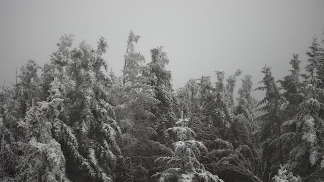
Meanwhile, measurable snow has fallen in the higher elevations in the Rockies, Cascades and Sierra mountain ranges, as well as the mountains of the interior Northeast.
Notably, North Carolina’s Mount Mitchell recorded its first snow of the season last week.
First snow of 2025-26 winter season falls atop Mt. Mitchell on North Carolina on Oct. 29, 2025.
(NWS Greenville-Spartanburg / NOAA)
Locales at lower elevations in the interior Northeast, including Boston, typically see their first snow in the final weeks of November, while the first flakes across the rest of the country usually fall in December.

(FOX Weather)
According to the FOX Forecast Center, no major snowstorms are on the horizon for the U.S.
The snowiest months for most of the country are typically January and February.
NOAA indicated that the U.S. may shift back to ENSO neutral around the start of January, which historically has brought increased snowfall totals to the Northeast.


