


Parts of the Northeast continue to be washed away by heavy rainfall. One resident captured heavy flooding on a neighborhood street, as the area is under a flood watch until the end of tonight.
A slow-moving cold front approaching the East Coast on Monday is unleashing flooding and heavy rain throughout major cities along the I-95 Corridor.
A Level 3 out of 4 risk for flash flooding has been outlined across part of the mid-Atlantic and Northeast, encompassing major cities such as Baltimore, Washington D.C. and Philadelphia.
New Jersey Governor Phil Murphy declared a State of Emergency for the state due to flash flooding, urging residents to stay off the roads.
The FOX Forecast Center said the front may take its time passing through the region, not clearing the coast until the overnight hours.
Water rescues, subway stations flooding and hazardous road conditions have all been reported throughout the Tri-State Area as the heaviest rain slams the region. Major airports throughout the Northeast reported Ground Stop delays while busy commuter trains, including the New York City Subway, Transit and Grand Central’s Metro North faced extreme delays or had service suspended.
HOW TO WATCH FOX WEATHER
New York City experienced its second wettest hour on record, slammed with 2.07″ rain between 7-8PM, according to the FOX Forecast Center. This record is behind only the 3.47″ that fell in one hour from the remnants of Hurricane Ida.
A heightened flash flood threat exists from parts of east Pennsylvania down to North Carolina. Rain totals could climb quick in any storms stalling over the same area. With near-record moisture levels, storms could produce rain rates that could top 3 inches per hour, especially across parts of Virginia, Maryland and Pennsylvania.

Parts of the Northeast have been getting slammed by heavy rainfall, as some areas have experienced heavy flooding this evening.
It is possible some isolated areas could see a quick 3-5 inches of rain within just a few hours in storms that repeatedly move over the same area.
DOWNLOAD THE FREE FOX WEATHER APP
In these areas, saturated ground from recent rain means it won’t take much for any additional rain to lead to flash flooding. Some of these storms could turn severe, producing quick and damaging winds that could bring down trees because of how wet the ground is.


(FOX Weather)
After Monday, the FOX Forecast Center said rain will become more scattered for Tuesday and Wednesday. Not everyone will see rain, but the gloomy skies will remain for most.
By Thursday, a new wave of rain will move into the East. Storms will start in the Midwest, and eventually move into the East as yet another cold front will come crashing through. This will only help stack the rain totals even higher across areas that do not need any more rain.

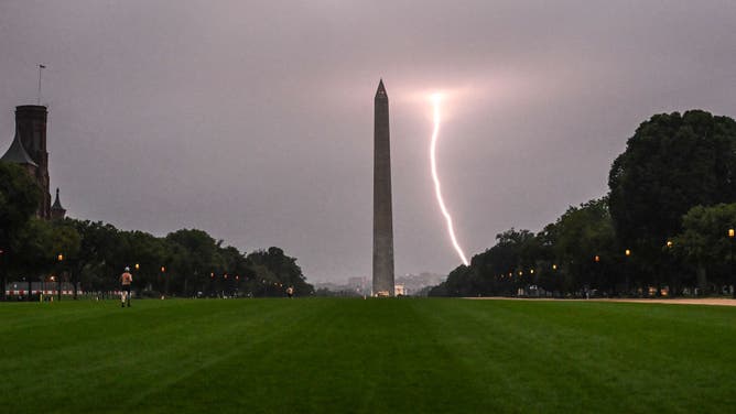
FILE – TOPSHOT – A lightning strike is seen during a storm, with the Washington monument in the foreground in Washington, DC on August 29, 2024. (Photo by ANDREW CABALLERO-REYNOLDS / AFP) (Photo by ANDREW CABALLERO-REYNOLDS/AFP via Getty Images)
(Getty Images / FOX Weather)
By Saturday, the East should see a drying period, but it may not last long as the region stays locked into this wet pattern.


