
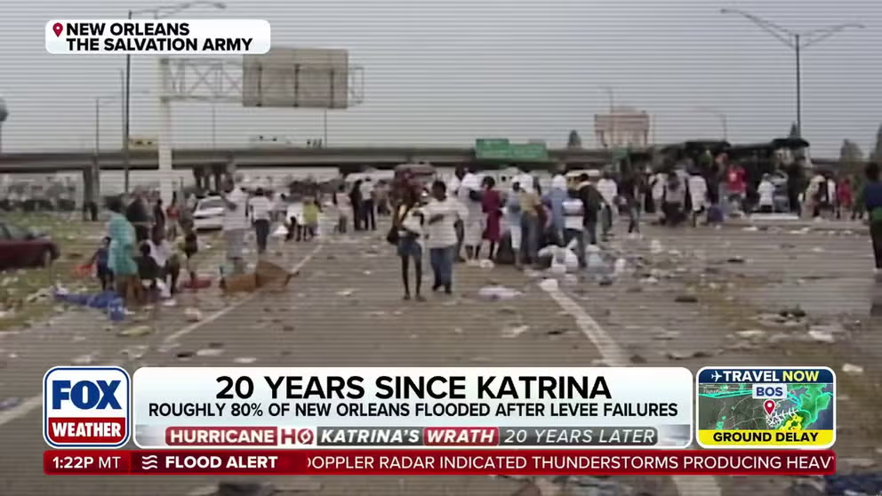
Many of the over million residents who left the Gulf Coast who left because of Hurricane Katrina never returned. For those who stayed, many had to endure years of hardships.
MIAMI – When Hurricane Katrina churned through the southwest Atlantic and eastern Gulf of Mexico in late August 2005, forecasters originally believed the storm would remain largely a Florida threat and not push westward into the central Gulf, but factors not captured by computer models caused the major hurricane to become potentially the “big one” for the Big Easy.
The cyclone’s first forecast cone, issued Aug. 23, showed the storm gathering strength after making landfall along Florida’s east coast.
At the time, forecasters did not believe the cyclone would reach hurricane status before striking north of Miami – but they were wrong.
In subsequent forecasts, the National Hurricane Center increased its intensity outlook and indicated the storm was on a path toward a secondary landfall along the Florida Panhandle just outside Tallahassee – a track that never materialized.
With nearly every new advisory, the cone shifted farther west as Katrina showed few signs of making a northward turn.
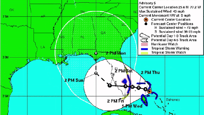
Hurricane Katrina path (2005)
(NOAA)
The largest adjustment came the evening of Aug. 26, when forecasters moved the forecast track 170 miles west of the previous advisory – a shift that squarely placed Louisiana and Mississippi in the heart of the projected path.
The substantial change dramatically increased the threat of a worst-case scenario for New Orleans – the overtopping of levees and catastrophic flooding.
Given the heightened risk, the NHC and then-director, Max Mayfield, launched an aggressive public outreach effort, warning of catastrophic impacts as the hurricane defied both initial path and intensity forecasts.
Less than 72 hours later, Katrina made landfall in southeast Louisiana as a weakening Category 3 hurricane.
Despite its downgrade, the hurricane was powerful enough to cause levee failures and an estimated $100 billion in damage.
More than 1,300 people were killed, making Katrina the deadliest weather disaster in modern U.S. history.
Though residents had three days to prepare, the time period was still far less warning than other storms that sometimes have a week’s notice.
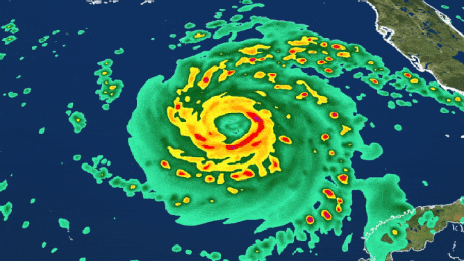
Radar loop of Hurricane Katrina.
(FOX Weather)
HURRICANE KATRINA REMEMBERED 20 YEARS AFTER HISTORIC STRIKE ON GULF COAST
What made Katrina’s early forecasts so challenging?
At the time, hurricane forecasters pointed to a combination of factors.
In the storm’s early formation stages, computer models underestimated the strength of a ridge of high pressure over the northern Gulf and Southeast.
The ridge was significantly stronger than expected, forcing Katrina on an initial westward trajectory.
The storm also underwent explosive rapid intensification, which the models struggled to accurately predict.
While some forecasts anticipated a Category 2 or 3 storm, Katrina became a powerful Category 5, altering atmospheric dynamics that were in control.
Other flaws, such as satellite gaps and computer processing powers, didn’t help, but despite the hindrances, the overall 3-day track forecast was fairly accurate, once forecasters and computer models were able to get a grasp on the historic storm.
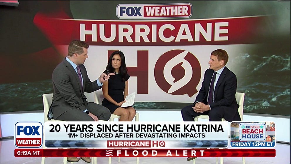
FOX Weather Hurricane Specialist Bryan Norcross reflects on devastating impacts of Hurricane Katrina 20 years later.
AMTRAK’S GULF COAST ROUTE RESTORED 20 YEARS AFTER HURRICANE KATRINA
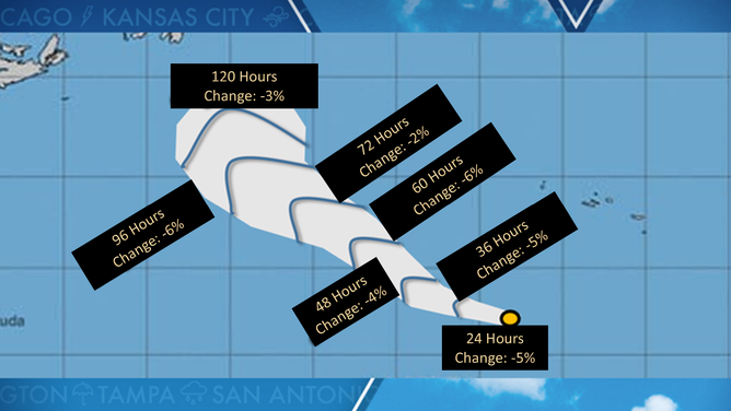
Since Katrina, the NHC says improvements in technology and increased funding have boosted track accuracy by more than 50% compared with forecasts in the early 2000s.
Today, five-day forecast cones are nearly as precise as three-day cones were decades ago, with the widest portion averaging just over 240 miles.
Even so, experts caution there is still about a 33% chance that a storm’s center will fall outside the cone, especially with developing systems.
Despite challenges and public perception, the NHC maintains that the forecast cone remains a vital tool in hurricane preparedness, with continued updates and refinements helping to improve emergency response.
2025 cone of uncertainty
(FOX Weather)